Remøya
62°22′N 5°38′E
Remøya is an island in Herøy Municipality in Møre og Romsdal county, Norway. The island is located north of the municipal center of Fosnavåg. 4 sq mi) island is connected to other islands via a network of bridges.
Terrain
62°22′N 5°38′E
Overview
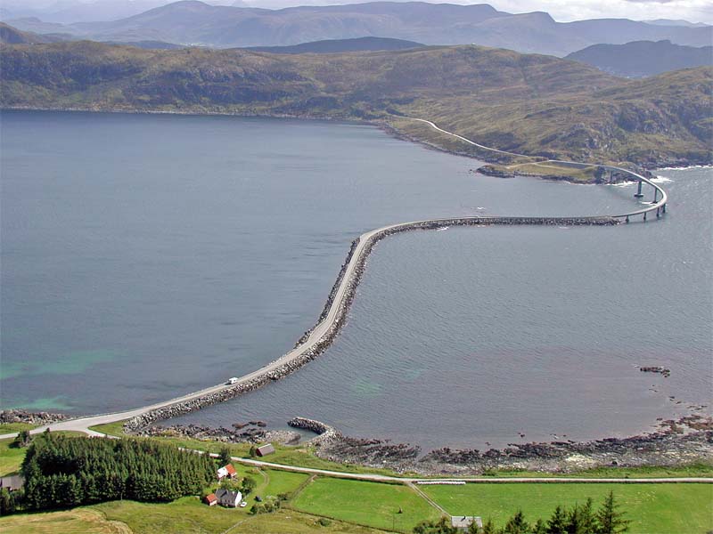
Remøya is an island in Herøy Municipality in Møre og Romsdal county, Norway. The island is located north of the municipal center of Fosnavåg. The 3.6-square-kilometre (1.4 sq mi) island is connected to other islands via a network of bridges. The Remøy Bridge connects it to the island Leinøya (to the south) and the Runde Bridge connects it to the island of Runde (to the north). The highest point on the island is Vardan which is 191 metres (627 ft) above sea level. Virtually all of the island's residents live on the southern portion of the island in the 0.41-square-kilometre (100-acre) village area called Remøy. The island had a population of 347 in 2023.
From Wikipedia, CC BY-SA 4.0
Chart
Nearest islands
Also in Sørøyane

Nerlandsøya
14.5 km²▲ 431 m
Major islands

Leinøya
14.5 km²▲ 364 m
Major islands

Bergsøya
7.6 km²▲ 216 m
Major islands

Runde
6.3 km²▲ 333 m
Major islands

Skorpa
2.9 km²▲ 431 m
Major islands
Also in Flåvær
Photographs

Rundebrua

Blick von der Insel Nerlandsøya über den Breisundet auf die Insel Remøya mit der Ortschaft Sævik Der Urheber ist: T.Müller
Sources
Facts
Photographs
- Rundebrua 2. T.Müller / Attribution
- Remøya with Breisundet. T.Müller / Attribution